Surge Rapids Trail
http://© Copyright: Open Streets Map copyright: https://www.openstreetmap.org/copyright
Double click on the above map to enlarge it to see the location of the Surge Rapids Trail as marked within the red circular line.
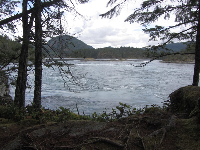
The Surge Rapids Trail is the farthest trail from Heriot Bay and from civilization on Quadra Island. It perhaps provide the most dramatic scene on Quadra: the rapids. It is a 45-minute drive from Heriot Bay, north, past Village Bay lakes to the end of the main road, at Hoskyn Channel Landing, near the adventure lodge there.
The last ten miles of this road are dirt road and near the end of the road you will pass the adventure lodge on your right. Park at the end of the road but at the top of the hill here as the road down to the ocean is too steep for most vehicles. This is where some Read Island residents park and then travel by boat across to their homes on Read Island, or north to other islands such as Sonora. Walk down the hill and the trail begins on your left. Follow the trail through fir forest for 25 minutes or so until you arrive at a rocky lookout point where you can sit and watch the tremendous tidal rapids. Boats and kayaks do travel through these deadly rapids but only very experienced sailors should attempt it and only during the brief interval between tide changes. This rocky outcrop you sit on is in the Surge Narrows Provincial Park ( 488ha)
Surge Narrows Provincial Park
The trail continues past this viewpoint for 20 minutes along a steep face in the forest then ends at a small bay. You follow the trail back the way you came. It is a great little adventure to walk this trail and sit on the rocks above the rapids and watch the power of the tide pull the ocean down through the channel like a huge powerful river.
 Above is the sign at the adventure lodge at the end of the road.
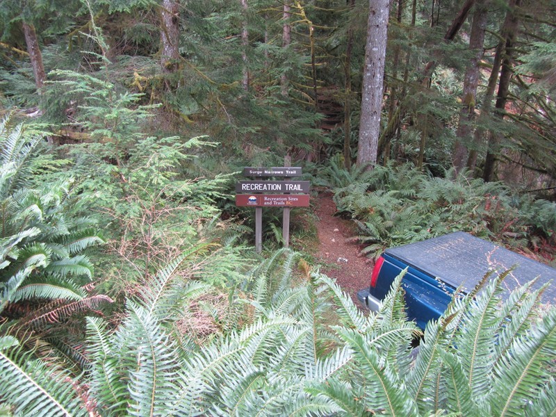
Below is the start of the Surge Narrows Trail.
The signpost near the rapids viewpoint, on the Surge Narrows Trail
The Surge Narrows Rapids Viewpoint.
The viewpoint takes about 30 minutes to hike to from your car. It is at point:
N50° 13.354’, W 125° 09.298’
N50° 13.354’, W 125° 09.298’
 Looking north from the Rapids Viewpoint
This page was updated on 19th Feb. 2019.


