
© Copyright http://Open Streets Map copyright: https://www.openstreetmap.org/copyright
The map above shows roughly where these two trails are located off the Granite Bay Road.
These two sites are accessed from the Granite Bay Road. The writer has not visited this site since 2019, and has heard that new logging-road construction in the area may have altered appearances and made the start of the Deepwater Bay Trail difficult to discern. These two trails are not trails maintained by the Quadra Trails Committee.
The old fish-processing plant and its buildings at Deepwater Bay have recently been bought by a young couple with young children and they are developing the site and cleaning it up via boat access. They welcome respectful visitors hiking in from the road to visit the site.
To get to the Benn Mine site and to Deepwater Bay trail, drive north from Heriot Bay for about 20 minutes to Granite Bay Road then turn left and drive down Granite Bay Road for 15 minutes until you pass a quarry on your left as you start to go downhill.

Here is the quarry on Granite Bay Road, just past which you turn off to the left to get to Deepwater Bay.

The road to the left, just past the quarry, is the one to take to get to Deepwater Bay. This point of the turnoff is: N 50.19782º, W 125.28450º
Just after you pass the quarry on your left you’ll see a road going off to the left and one to the right. Take the left road and follow it slowly for a few miles until it arrives at the summit of a saddle where there’s enough space to park beside the road. There should be some coloured flagging tape tied to the trees here to mark the start of the trail to the Benn Mine
(1) The Benn Mine Site
The Benn Mine was operating during the 1950s. The mine site is accessed from the same logging road which goes to the Deepwater Bay trail, but is accessed about a km. before you get to the Deepwater Bay parking area.
After turning off from Granite Bay Road just past the quarry, drive along this rough logging road and it will soon branch into two roads, and here you take the left branch of the road for about a mile and a half, as it climbs up to a saddle. When you arrive on the saddle summit, you will see a parking area on an old road to your right, and the remains of a road on your left where there is also some orange and pink flagging. This parking point is at: N 50.19384º, W 125.29963º

This is the summit of the saddle along the road to the Deepwater Bay Trail, and this is where you park to climb to the Old Benn Mine. The road you walk up is on the right of this photo.

Here is the old road up to the Benn Mine, overgrown at first, as shown here, but easy to follow.
From the parking spot you take the old road to the north, and this old washed-out road is well-marked with pink flagging tape and climbs to the east and gradually sweeps around to the west. After about 20 minutes of climbing this easy old road you will arrive at a fork in the road: take the left-hand branch here. In a few minutes this trail ends at the Benn Mine site. Here you will find old mine shafts, and plenty of old relics. Be careful when moving around the old shafts as they are very deep and the side are very steep and dangerous. You can see from the very green rocks around this site that copper is strongly present here. This is a great old mine to explore, and it appears to have ceased operating in the 1960s.

One of the deep shafts at the mine site, and you can see the bright-green rock here.

One of the deep flooded shafts; beware of stepping too close to this shaft.

The site of the shafts of the Old Benn Mine.

An Old Benn Mine relic sits rusting in the forest at the mine site.

Look at all of that very green rock at this shaft of the Benn Mine; this looks to be certainly a rich copper ore deposit.

This car looks to be a 1956 model and it never made it back out from the mine site. The forest is gradually taking it over.

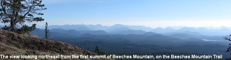
As an aside, if you climb the first side-road on the right on the logging road to the trail to Deepwater Bay, you find this great view looking south.
(2) The Deepwater Bay trail/old road
Continue past the parking area for the Benn Mine Trail until you arrive at an area of stumps and cut wood scraps. There has been new road construction here in 2025, so, it may not look the same as in this photo taken in 2019. If possible, park you car here at point : N50.18982º,W 125.30991º.. Recent new road construction at this point has left the start of the old road/trail down to Deepwater Bay somewhat unclearly indicated and you may have to probe the forest edge to pick up the old-road trail.

Park you car here at: N50.18982º,W 125.30991º.
Walk downhill from N50.18982º,W 125.30991º for about 250 – 350 meters and find the old road on your left as you go. You may have to probe the forest edge to pick up the old-road trail. Follow that old-road trail on foot and it soon deteriorates into a foot-trail with many fallen trees across it, and at least one washed-out section on it. Keep pushing on through the mess and in about 45 minutes the trail stops at the ocean and the old fish-processing buildings. That is the end of the trail. There may be a trailer parked there now, and recent signs of human activity as the site is now privately owned and this should be respected.
As you follow the trail downhill you will pass a yellow steel gate and then come to the ocean and the old buildings at: N50.18577, W125.33304. This is a beautiful spot indeed and is now private property with new owners. IMPORTANT: Please respect that this is private property, so that future hikers will be welcome to hike to there.

The old fish-processing factory at Deepwater Bay, Quadra Island. Now it is private land but respectful visitors are welcome. June, 2019.

Looking west to Vancouver Island, from Deepwater Bay, Quadra Island. June 25th., 2019.
This page was updated on 5th February, 2026.